Rural fencing in Sarina and the Plane Creek district
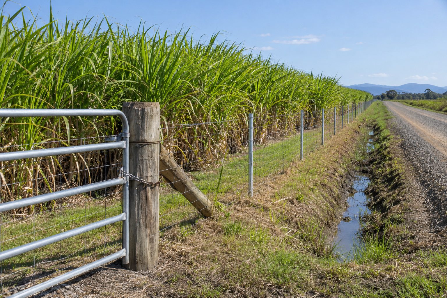
If you are looking for rural fencing in Sarina, you are south of Mackay in Mackay Regional Council country, with cane land, a rail connection and coal work all in the local economy. Your enquiry is passed to a local contractor, who quotes and does the work. We refer; we do not build fences. A secondary source puts Sarina about 35 km south of Mackay at most (Wikipedia). For the whole region see the home page.
What the 2021 Census shows for Sarina
The ABS gives Sarina three ways: the locality, the wider Sarina statistical area (SA2) and the urban centre. Separate houses are the share of occupied private dwellings.
| Area | People | Separate houses | Largest industries (share of jobs) |
|---|---|---|---|
| Sarina (locality) | 5,619 (median age 40, 2,405 private dwellings) | 91.2 per cent | Coal mining 9.7 per cent (234 people), rail freight 4.4 (106), sugar manufacturing 4.1 (100) |
| Sarina (SA2) | 11,822 (median age 42, 5,238 private dwellings) | 93.2 per cent | Coal mining 11.5 per cent (607 people), rail freight 4.0, sugar manufacturing 3.0 (156) |
| Sarina (urban centre) | 3,487 (median age 38, 1,573 private dwellings) | 86.9 per cent | Coal mining 8.5 per cent, sugar manufacturing 5.3, rail freight 5.3 |
The wider SA2 is about twice the size of the locality and slightly older, with 93.2 per cent separate houses. The ABS pages give no lot sizes, so we cannot say how many of those homes are rural residential, and any lifestyle-block reading is an inference. The horse and lifestyle block page covers the questions that raises.
Cane, rail and coal around Sarina
Coal mining leads employment in every Sarina row, which is the same pattern as most of this region. Sugar manufacturing is a top-three line in each row, and a secondary source also records a sugar mill in the town. A sugar milling company's cane supply page describes more than 1,200 cane farms from about 5 ha to over 900 ha, a cane rail network of 832 km with approximately 280 sidings, and a crushing season that typically runs from June to December. We read it for those figures only, and we do not know whether it covers the Sarina district, so treat them as one milling company's figures, not Sarina's.
The census "rail freight" line is a separate industry heading, and it does not say what the rail freight is. So we draw no conclusion about cane railways beside a fence line. If your boundary runs beside a rail line, a siding or a cane road, ask the contractor how access works in the crushing season and who to ask about the line. The cane side of the Act, and what the carve-out at s 8(3) does and does not cover, is on the cane boundary page.
Flood mapping: the Sarina Drainage Study
Mackay Regional Council's flood and coastal hazard overlay code page (council page) names the Sarina Drainage Study, adopted on 14 November 2018, for land north of Plane Creek and west of the Bruce Highway. That study went into Version 2.2 of the scheme, from 17 June 2019. The page is out of date against the current scheme and does not mention fences, so we cannot say whether your block is mapped or whether a mapped block changes what you can do. Ask the council.
Plane Creek and the south
Plane Creek is a name in the council's mapping and in the district, and that is all we have. We did not fetch census or climate figures for the Plane Creek district, so this page gives none and makes no claim about its land use or stock. We found no climate source for Sarina either. The Mackay M.O. station, a different place, recorded 1,597.3 mm a year in its record from 1959, so treat that as Mackay's number, not Sarina's. If rain, flood and access matter to your fence, the seasons guide explains why we give no calendar.
Council, neighbours and the Act at Sarina
Mackay Regional Council is on 1300 622 529. Its Sarina customer service centre is at 65 Broad Street, open Monday to Friday, 9am to 4pm (council dividing fences page). The council does not run fence disputes, and its page names a "Notice for contribution to fencing work" form. Under the Act, as written in the version we found, a boundary between two parcels of agricultural land is outside the chapter at s 8(3), a boundary between two grazing parcels is inside it with a livestock test, and a road between owners is covered by s 15(2) in outline. The dividing fence law page sets out the words. For stock fencing on grazing country, see the cattle and farm fencing page.
What to send when you ask for a quote
Send the locality, a photo of the line, its rough length, who the neighbour is (cane, grazing, a house block, a road or a rail line) and the ground. Ask each contractor which licence or registration they hold and check it on the QBCC register (139 333); the licence page shows what the pages say. For fencing near water, roads and bush see the creeks and roads page. Looking north instead? The Proserpine and Calen page covers that side. Then send your details.
What this page cannot tell you
It cannot tell you what is at the Plane Creek district, because we fetched no census or climate figures for it. It cannot say whether your block is on a flood map, whether a rural fence needs council approval, or what a rail or siding owner expects at a boundary. We found no climate or soils source for Sarina and no source on termite pressure. Ask the council about maps and approvals, ask the contractor about access, and use the dividing fence page to see what the Act's words cover.
Check the current rules before you rely on this
This page describes rural fencing in Sarina and the Plane Creek district, with the census, council and flood-mapping facts we could verify. It describes the rules in general terms as they stood in November 2026. Standards, forms, thresholds and fines change.
The authoritative sources are Mackay Regional Council, contact us, ABS 2021 Census QuickStats: Sarina (locality), ABS 2021 Census QuickStats: Sarina (SA2), Mackay Regional Council, flood and coastal hazard overlay code (page out of date against the current scheme; does not mention fences) and A sugar milling company's cane supply page (industry figures; the company is not named on the site). Where anything here differs from those sources, they are right and we are not.
We are not fencing contractors, builders, regulators or lawyers. For what applies to your fence, ask the contractor which licence or registration they hold and check it on the QBCC register (139 333), then ask the council that covers the land: Mackay Regional Council (1300 622 529), Whitsunday Regional Council (1300 972 753) or Isaac Regional Council (contact details on its website).
Accurate at the time of writing, November 2026. Always check the source before relying on it.